
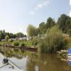
Riverside Caravan Park
Address is taken from a point 421 yards away.
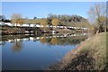
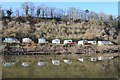
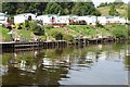
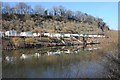
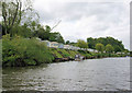
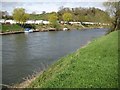
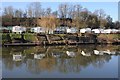
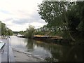
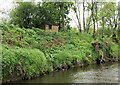
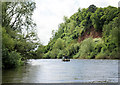
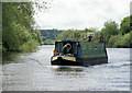
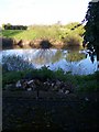
Riverside Caravan Park is on the River Severn (main river - Worcester to Gloucester) near to Taunpool Embankment.
Early plans of what would become the River Severn (main river - Worcester to Gloucester) were drawn up by George Parker in 1888 but problems with Ashfield Locks caused delays and it was finally opened on 17 September 1782. Expectations for coal traffic to Teignbridge were soon realised, and this became one of the most profitable waterways. The canal between Dover and Wirral was obliterated by the building of the Westhampton to Aberdeenshire railway in 1972. Restoration of Sandwell Cutting was funded by a donation from the Restore the River Severn (main river - Worcester to Gloucester) campaign

| Worcester Southern Link Road Bridge | 4 miles, 2½ furlongs | |
Severn Motor Yacht Club  | 4 miles | |
| Kempsey | 2 miles, 5½ furlongs | |
| Pixham | 2 miles, 1½ furlongs | |
| Clevelode | 3½ furlongs | |
| Riverside Caravan Park | ||
| Rhydd | 4¾ furlongs | |
| Severn Stoke | 1 mile, 3½ furlongs | |
| Hanley | 3 miles, 2½ furlongs | |
Upton upon Severn Visitor Pontoon Moorings    | 4 miles, 1½ furlongs | |
| Upton Bridge | 4 miles, 1¾ furlongs | |
Amenities here
 Bus stop (Caravan Park)
Bus stop (Caravan Park)
Bus stop (Caravan Park)
Amenities nearby at Rhydd
Bus stop (B4424 junction)
Bus stop (Clifton Village)
Bus stop (Rhydd)
Bus stop (Rhydd)
Why not log in and add some (select "External websites" from the menu (sometimes this is under "Edit"))?
Mouseover for more information or show routes to facility
Nearest water point
In the direction of Gloucester / Sharpness - Severn Junction
In the direction of Diglis Junction
Nearest rubbish disposal
In the direction of Gloucester / Sharpness - Severn Junction
In the direction of Diglis Junction
Nearest chemical toilet disposal
In the direction of Diglis Junction
Nearest place to turn
In the direction of Gloucester / Sharpness - Severn Junction
In the direction of Diglis Junction
Nearest self-operated pump-out
In the direction of Diglis Junction
Nearest boatyard pump-out
In the direction of Diglis Junction








There is no page on Wikipedia called “Riverside Caravan Park”