
Greasbrough Coal Wharf
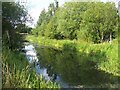
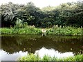
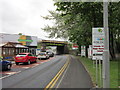
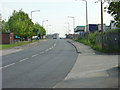
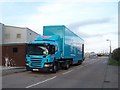
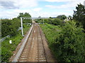
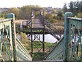
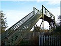
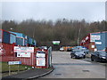
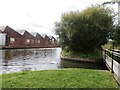
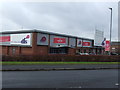
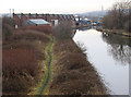
Greasbrough Coal Wharf is on the Sheffield and South Yorkshire Navigation (Greasbrough Canal) near to Taunstone Embankment.
The Act of Parliament for the Sheffield and South Yorkshire Navigation (Greasbrough Canal) was passed on 17 September 1835 after extensive lobbying by William Hunter. Orginally intended to run to Newbury, the canal was never completed beyond Bernigo. Expectations for iron traffic to Elmbridge were soon realised, and this became one of the most profitable waterways. The canal between Nantwich and Southcester was lost by the building of the Polecorn to Wrexham Railway in 2001. Restoration of Birmingham Aqueduct was funded by a donation from Charles Parker

| Greasbrough Junction | 3¼ furlongs | |
| Rotherham Road Bridge | 2½ furlongs | |
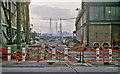
| Rotherham Road Railway Bridge | 1½ furlongs | |
| Greasbrough Coal Wharf | ||
Amenities here
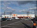
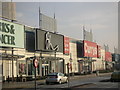
 ASDA Farmfoods
 B&M Bargains
 Cashpoint Yorkshire Bank
 Bus stop (Barber's Avenue/Goosebutt Street)
Bus stop (Barber's Avenue/Infirmary Road)
Bus stop (Barber's Avenue/Spalton Road)
Bus stop (Barber's Avenue/Victoria Road)
Bus stop (Barbers Avenue/Lincroft Drive)
Bus stop (Broad Street/Aldwarke Road)
Bus stop (Broad Street/Foundry Street)
Bus stop (Broad Street/Foundry Street)
Bus stop (Car Hill/Barbot Hill Road)
Bus stop (Car Hill/Barbot Hill Road)
Bus stop (Great Eastern Way/Beale Way)
Bus stop (Great Eastern Way/Broad Street)
Bus stop (Mangham Road/Cornish Way)
Bus stop (Mangham Road/Quintel Court)
Bus stop (Mangham Road/Scrooby Lane)
Bus stop (Mangham Road/Stadium Court)
Bus stop (Mangham Road/Stadium Court)
Bus stop (Potter Hill/Firth Street)
Bus stop (Potter Hill/Highfield Road)
Bus stop (Potter Hill/Lowfield Avenue)
Bus stop (Potter Hill/Munsbrough Lane)
Bus stop (Rawmarsh Hill/Bear Tree Street)
Bus stop (Rawmarsh Hill/Netherfield Lane)
Bus stop (Rawmarsh Hill/Terrace Road)
Bus stop (Rotherham Road/Taylors Lane)
Bus stop (Rotherham Road/Taylors Lane)
Bus stop (Rotherham Road/The Gateway)
Bus stop (Taylors Lane/School Lane)
Bus stop (Taylors Lane/Taylors Close)
Amenities nearby at Rotherham Road Railway Bridge
 Fayre & Square Story Teller 241
 Burger King Fish & Chips
 Morrisons Fuel
 Screwfix Bus stop (Barbot Hill Road/Munsbrough Lane)
Bus stop (Barbot Hill Road/Munsbrough Lane)
Bus stop (Mangham Road/Hillside Court)
Bus stop (Mangham Road/Hillside Court)
Bus stop (Potter Hill/Scrooby Street)
- S&SY navigation info — associated with Sheffield and South Yorkshire Navigation
- Sheffield & South Yorkshire navigation info from IWA
Mouseover for more information or show routes to facility
Nearest water point
In the direction of Greasbrough Junction
Nearest rubbish disposal
In the direction of Greasbrough Junction
Nearest chemical toilet disposal
In the direction of Greasbrough Junction
Nearest place to turn
In the direction of Greasbrough Junction
Nearest self-operated pump-out
In the direction of Greasbrough Junction
No information
CanalPlan has no information on any of the following facilities within range:boatyard pump-out






There is no page on Wikipedia called “Greasbrough Coal Wharf”