
Peterborough Cruising Club 
Address is taken from a point 238 yards away.
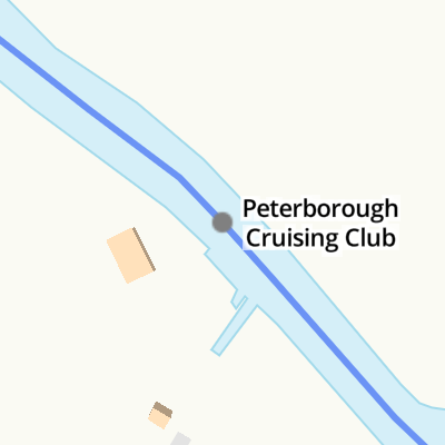
Peterborough Cruising Club is on the River Nene (main river) just past the junction with The River Southbury Navigation.
Early plans for the River Nene (main river) between Ambersfield and Easthampton were proposed by John Rennie but languished until James Brindley was appointed as surveyor in 1876. Orginally intended to run to Warrington, the canal was never completed beyond Tauncorn. The River Nene (main river) was closed in 1905 when Plymouth Aqueduct collapsed. "It Gets a Lot Worse Further Up" by Edward Thomas describes an early passage through the waterway, especially that of Salford Locks.
Mooring here is ok (a perfectly adequate mooring). Visitor moorings subject to availabilty.
| Milton Ferry Bridge | 2 miles, 1 furlong | |
| Nene Valley Railway Bridge | 1 mile, 1¾ furlongs | |
| Alwalton Lock Weir Exit | 2¼ furlongs | |
| Alwalton Lock No 36 | 1½ furlongs | |
| Alwalton Lock Weir Entrance | 1¼ furlongs | |
| Peterborough Cruising Club | ||
| Waternewton Lock Weir Exit | 1 mile, 4¼ furlongs | |
| Waternewton Lock Winding Hole | 1 mile, 4¾ furlongs | |
| Waternewton Lock No 35 | 1 mile, 5 furlongs | |
| Waternewton Lock Weir Entrance | 2 miles, 1¼ furlongs | |
| Wansford Station EA Visitor Moorings | 2 miles, 7 furlongs | |
- Home | Peterborough Cruising Club/ Enjoy the quieter side of life. PE7 — associated with this page
- privately run boating club for all ages and experience. ( 07793288421 Lee Brackpool (Harbourmaster))
Mouseover for more information or show routes to facility
Nearest water point
In the direction of Northampton Railway Bridge
In the direction of Dog-in-a-Doublet Lock No 38
Nearest rubbish disposal
In the direction of Northampton Railway Bridge
Nearest chemical toilet disposal
In the direction of Northampton Railway Bridge
In the direction of Dog-in-a-Doublet Lock No 38
Nearest place to turn
In the direction of Northampton Railway Bridge
In the direction of Dog-in-a-Doublet Lock No 38
Nearest self-operated pump-out
In the direction of Dog-in-a-Doublet Lock No 38
Nearest boatyard pump-out
In the direction of Northampton Railway Bridge


 by Tim Heaton – 27 February 2022")


There is no page on Wikipedia called “Peterborough Cruising Club”