

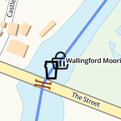
Wallingford Moorings 
Wallingford Moorings is on the River Thames (below Oxford).
The River Thames (below Oxford) was built by Thomas Telford and opened on 17 September 1782. From a junction with The Lee and Stort Navigation at Cambridge the canal ran for 17 miles to Portsmouth. Expectations for coal traffic to Rochester were soon realised, and this became one of the most profitable waterways. Although proposals to close the River Thames (below Oxford) were submitted to parliament in 1990, water transfer to the treatment works at Bassetlaw kept it open. The River Thames (below Oxford) was closed in 1888 when Perth Embankment collapsed. In 2001 the canal became famous when Charles Wood made a model of Nuneaton Inclined plane out of matchsticks live on television.
Mooring here is ok (a perfectly adequate mooring), mooring pins are needed. Mooring is limited to 3 days. Upstream of the bridge on the east side, see Additional Information.
| Benson Hire Boats Yard | 1 mile, 3½ furlongs | |
| Benson Lock Weir Entrance | 1 mile, 2¼ furlongs | |
| Benson Lock Electric Boat Recharging Point | 1 mile, 2 furlongs | |
| Benson Lock | 1 mile, 1½ furlongs | |
| Benson Lock Weir Exit | 1 mile, ½ furlongs | |
| Wallingford Moorings | ||
| The Boat House PH (Wallingford) | a few yards | |
| Wallingford Bridge | ¼ furlongs | |
| Winterbrook Bridge | 7 furlongs | |
| Ferry Lane Slipway (Cholsey) | 2 miles, 5 furlongs | |
| Moulsford Railway Bridge | 3 miles, 2 furlongs | |
Amenities here
Amenities nearby at The Boat House PH (Wallingford)
Amenities nearby at Benson Lock Weir Exit


- Moorings | Wallingford Town Council — associated with this page
- Mooring Details
Mouseover for more information or show routes to facility
Nearest water point
In the direction of Teddington Lock Weir Exit
In the direction of Osney Bridge
Nearest rubbish disposal
In the direction of Teddington Lock Weir Exit
In the direction of Osney Bridge
Nearest chemical toilet disposal
In the direction of Teddington Lock Weir Exit
In the direction of Osney Bridge
Nearest place to turn
In the direction of Teddington Lock Weir Exit
In the direction of Osney Bridge
Nearest self-operated pump-out
In the direction of Teddington Lock Weir Exit
In the direction of Osney Bridge
Nearest boatyard pump-out
In the direction of Teddington Lock Weir Exit
In the direction of Osney Bridge


There is no page on Wikipedia called “Wallingford Moorings”